
Yuma Territorial Prison State Historic Park topographic map
Interactive map
Click on the map to display elevation.
About this map
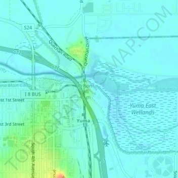
Name: Yuma Territorial Prison State Historic Park topographic map, elevation, terrain.
Average elevation: 141 ft
Minimum elevation: 118 ft
Maximum elevation: 253 ft
Other topographic maps
Click on a map to view its topography, its elevation and its terrain.
Yuma Desert
Yuma Desert, Avenue 3E, Yuma, Yuma County, Arizona, USA
Average elevation: 282 ft
Yuma Quartermaster Depot State Historic Park
Yuma Quartermaster Depot State Historic Park, Yuma, Yuma County, Arizona, USA
Average elevation: 144 ft