
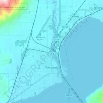
Sandpoint topographic map
Click on the map to display elevation.
About this map
Name: Sandpoint topographic map, elevation, terrain.
Location: Sandpoint, Bonner County, Idaho, United States (48.25641 -116.58179 48.31458 -116.53550)
Average elevation: 2,159 ft
Minimum elevation: 2,041 ft
Maximum elevation: 4,203 ft
Bonner County trails, hiking, mountain biking, running and outdoor activities
Other topographic maps
Click on a map to view its topography, its elevation and its terrain.