
Virginia City topographic map
Interactive map
Click on the map to display elevation.
About this map
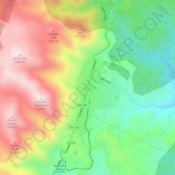
Name: Virginia City topographic map, elevation, terrain.
Location: Virginia City, Storey County, Nevada, 89440, United States (39.29081 -119.66952 39.33081 -119.62952)
Average elevation: 6,490 ft
Minimum elevation: 5,423 ft
Maximum elevation: 7,802 ft
Storey County trails, hiking, mountain biking, running and outdoor activities