
The Villages topographic map
Interactive map
Click on the map to display elevation.
About this map
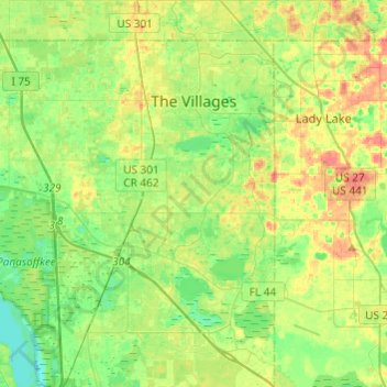
Name: The Villages topographic map, elevation, terrain.
Location: The Villages, Sumter County, Florida, United States (28.76987 -82.04593 28.98190 -81.92878)
Average elevation: 82 ft
Minimum elevation: 13 ft
Maximum elevation: 177 ft
Sumter County trails, hiking, mountain biking, running and outdoor activities
Other topographic maps
Click on a map to view its topography, its elevation and its terrain.