Geolocate

Nebraska topographic map

Click on the map to display elevation.

About this map

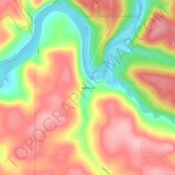
Name: Nebraska topographic map, elevation, terrain.

Location: Nebraska, Forest County, Pennsylvania, USA (41.44923 -79.40338 41.48923 -79.36338)

Average elevation: 1,421 ft

Minimum elevation: 1,086 ft

Maximum elevation: 1,677 ft

Gear up for your next adventure:

🔭Stargazing Telescopes - Perfect for camping in low-light pollution areas shown on maps
🛏️Cold Weather Sleeping Bag - Warm sleeping bag for cold conditions
🌡️Portable Weather Meter - Track weather conditions on the trail
🦟Ultrasonic Repellers - Create a bug-free zone at your camp or rest stop
📖Nature Tracking Books - Learn to track wildlife and terrain

As an Amazon Associate, this site earns from qualifying purchases at no extra cost to you.