
Make a donation
Gear up for your next adventure:
As an Amazon Associate, this site earns from qualifying purchases at no extra cost to you.
Richard B. Russell Lake topographic map
Click on the map to display elevation.
Make a donation
Gear up for your next adventure:
As an Amazon Associate, this site earns from qualifying purchases at no extra cost to you.
Richard B. Russell Lake
Richard B. Russell Lake (known to locals as simply "Lake Russell") is a reservoir created by the U.S. Army Corps of Engineers by construction of Richard B. Russell Dam on the Savannah River bordering Elbert County, Georgia and Abbeville and Anderson counties in South Carolina. The lake impounds primarily the Savannah River but also includes Beaverdam Creek on the Georgia side and Rocky River on the South Carolina side. Filling of the lake began in October 1983, and was completed in December 1984 for a full pool elevation of 475 feet. Lake levels do not change much because the lake is designed to operate within 5 feet of full pool compared to Hartwell and Thurmond, whose 35 and 18 feet of conservation storage respectively causes their levels to change more dramatically. This causes the lake to always look full.
Make a donation
Gear up for your next adventure:
As an Amazon Associate, this site earns from qualifying purchases at no extra cost to you.
About this map
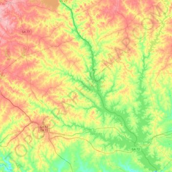
Name: Richard B. Russell Lake topographic map, elevation, terrain.
Average elevation: 591 ft
Minimum elevation: 381 ft
Maximum elevation: 840 ft
Make a donation
Gear up for your next adventure:
As an Amazon Associate, this site earns from qualifying purchases at no extra cost to you.