
Junction City topographic map
Interactive map
Click on the map to display elevation.
About this map
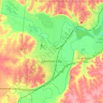
Name: Junction City topographic map, elevation, terrain.
Location: Junction City, Geary County, Kansas, United States (38.98640 -96.88732 39.08948 -96.80262)
Average elevation: 1,155 ft
Minimum elevation: 988 ft
Maximum elevation: 1,332 ft
Geary County trails, hiking, mountain biking, running and outdoor activities