
Mount Pleasant topographic map
Interactive map
Click on the map to display elevation.
About this map
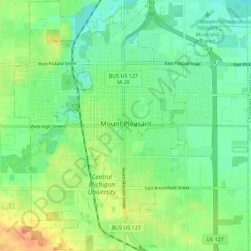
Name: Mount Pleasant topographic map, elevation, terrain.
Location: Mount Pleasant, Isabella County, Michigan, United States (43.56794 -84.80282 43.62647 -84.73789)
Average elevation: 778 ft
Minimum elevation: 728 ft
Maximum elevation: 860 ft
Isabella County trails, hiking, mountain biking, running and outdoor activities