
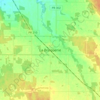
La Broquerie topographic map
Interactive map
Click on the map to display elevation.
About this map
Name: La Broquerie topographic map, elevation, terrain.
Location: La Broquerie, Manitoba, R0A 0W0, Canada (49.48127 -96.55043 49.56127 -96.47043)
Average elevation: 932 ft
Minimum elevation: 889 ft
Maximum elevation: 974 ft