
Presqu'ile topographic map
Interactive map
Click on the map to display elevation.
About this map
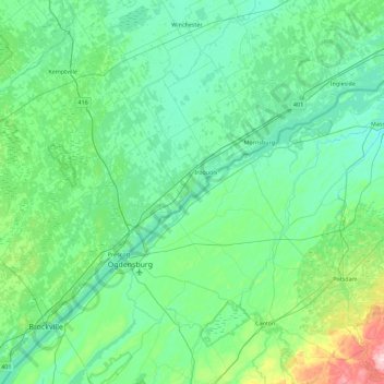
Name: Presqu'ile topographic map, elevation, terrain.
Average elevation: 331 ft
Minimum elevation: 177 ft
Maximum elevation: 1,293 ft
Other topographic maps
Click on a map to view its topography, its elevation and its terrain.
South Dundas
Canada > Ontario > South Dundas
South Dundas, Stormont, Dundas and Glengarry Counties, Eastern Ontario, Ontario, Canada
Average elevation: 269 ft