
Carlsbad Caverns National Park topographic map
Interactive map
Click on the map to display elevation.
About this map
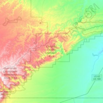
Name: Carlsbad Caverns National Park topographic map, elevation, terrain.
Average elevation: 4,836 ft
Minimum elevation: 3,563 ft
Maximum elevation: 7,031 ft
Eddy County trails, hiking, mountain biking, running and outdoor activities
Other topographic maps
Click on a map to view its topography, its elevation and its terrain.