
Paducah topographic map
Interactive map
Click on the map to display elevation.
About this map
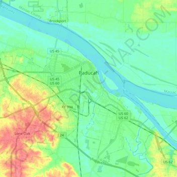
Name: Paducah topographic map, elevation, terrain.
Location: Paducah, McCracken County, Kentucky, United States (37.03683 -88.73290 37.10521 -88.56064)
Average elevation: 354 ft
Minimum elevation: 299 ft
Maximum elevation: 489 ft
McCracken County trails, hiking, mountain biking, running and outdoor activities
Other topographic maps
Click on a map to view its topography, its elevation and its terrain.