
Kousséri topographic map
Interactive map
Click on the map to display elevation.
About this map
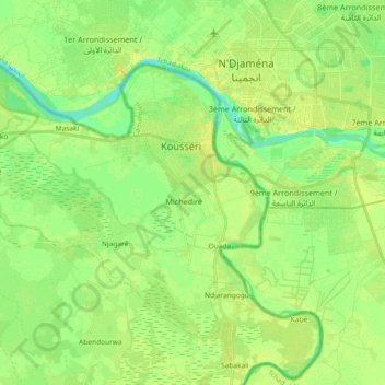
Name: Kousséri topographic map, elevation, terrain.
Location: Kousséri, Logone-et-Chari, Far-North, Cameroon (11.99357 14.87642 12.12860 15.06065)
Average elevation: 968 ft
Minimum elevation: 928 ft
Maximum elevation: 1,004 ft