
Dhurwa Dam topographic map
Interactive map
Click on the map to display elevation.
About this map
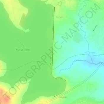
Name: Dhurwa Dam topographic map, elevation, terrain.
Location: Dhurwa Dam, Ranchi, Jharkhand, 834003, India (23.27578 85.25836 23.29912 85.26248)
Average elevation: 2,175 ft
Minimum elevation: 2,106 ft
Maximum elevation: 2,260 ft
Other topographic maps
Click on a map to view its topography, its elevation and its terrain.