
Hattiesburg topographic map
Interactive map
Click on the map to display elevation.
About this map
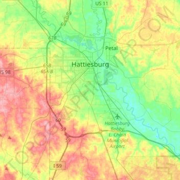
Name: Hattiesburg topographic map, elevation, terrain.
Location: Hattiesburg, Forrest County, Mississippi, United States (31.18583 -89.41660 31.40513 -89.22427)
Average elevation: 233 ft
Minimum elevation: 92 ft
Maximum elevation: 423 ft
Forrest County trails, hiking, mountain biking, running and outdoor activities
Other topographic maps
Click on a map to view its topography, its elevation and its terrain.