
Silver Creek Conservation Area topographic map
Interactive map
Click on the map to display elevation.
About this map
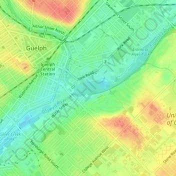
Name: Silver Creek Conservation Area topographic map, elevation, terrain.
Average elevation: 1,070 ft
Minimum elevation: 994 ft
Maximum elevation: 1,158 ft
Other topographic maps
Click on a map to view its topography, its elevation and its terrain.
John Gamble Park
John Gamble Park, Hanlon Creek, Guelph, Ontario, Canada
Average elevation: 1,073 ft
The Arboretum
The Arboretum, Guelph, Southwestern Ontario, Ontario, Canada
Average elevation: 1,089 ft