
Cashiers topographic map
Interactive map
Click on the map to display elevation.
About this map
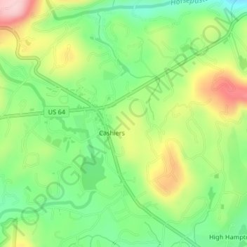
Name: Cashiers topographic map, elevation, terrain.
Location: Cashiers, Jackson County, North Carolina, United States (35.09976 -83.11297 35.12469 -83.08291)
Average elevation: 3,560 ft
Minimum elevation: 3,287 ft
Maximum elevation: 3,986 ft
Jackson County trails, hiking, mountain biking, running and outdoor activities