
Flaming Gorge Reservoir topographic map
Interactive map
Click on the map to display elevation.
Flaming Gorge Reservoir
Flaming Gorge Reservoir is the largest reservoir in Wyoming, on the Green River, impounded behind the Flaming Gorge Dam. Construction on the dam began in 1958 and was completed in 1964. The reservoir stores 3,788,900 acre-feet (4.6735×10⁹ m3) of water when measured at an elevation of 6,040 feet (1,841 m) above sea-level (maximum).
About this map
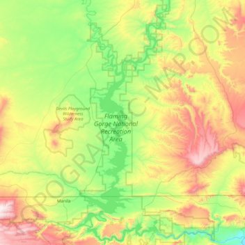
Name: Flaming Gorge Reservoir topographic map, elevation, terrain.
Average elevation: 6,798 ft
Minimum elevation: 5,423 ft
Maximum elevation: 9,554 ft
Sweetwater County trails, hiking, mountain biking, running and outdoor activities