
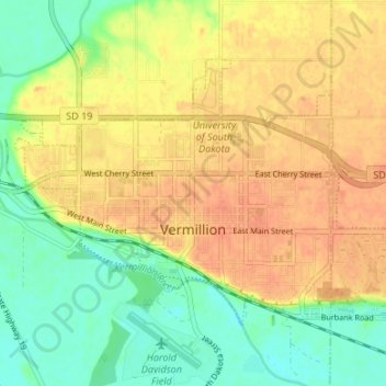
Vermillion topographic map
Interactive map
Click on the map to display elevation.
Vermillion
The elevation of the city is 1,221 feet (372 m).
About this map
Name: Vermillion topographic map, elevation, terrain.
Average elevation: 1,201 ft
Minimum elevation: 1,125 ft
Maximum elevation: 1,260 ft
Clay County trails, hiking, mountain biking, running and outdoor activities