
Bennington topographic map
Interactive map
Click on the map to display elevation.
About this map
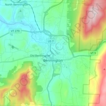
Name: Bennington topographic map, elevation, terrain.
Location: Bennington, Bennington County, Vermont, United States (42.83662 -73.27836 42.93442 -73.14600)
Average elevation: 1,027 ft
Minimum elevation: 495 ft
Maximum elevation: 2,753 ft
Bennington County trails, hiking, mountain biking, running and outdoor activities
Other topographic maps
Click on a map to view its topography, its elevation and its terrain.