
Port Clinton topographic map
Interactive map
Click on the map to display elevation.
About this map
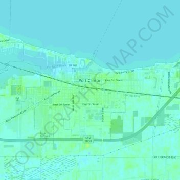
Name: Port Clinton topographic map, elevation, terrain.
Location: Port Clinton, Ottawa County, Ohio, United States (41.49712 -82.96389 41.52235 -82.90765)
Average elevation: 571 ft
Minimum elevation: 561 ft
Maximum elevation: 594 ft
Ottawa County trails, hiking, mountain biking, running and outdoor activities
Other topographic maps
Click on a map to view its topography, its elevation and its terrain.