
Lithopolis topographic map
Interactive map
Click on the map to display elevation.
About this map
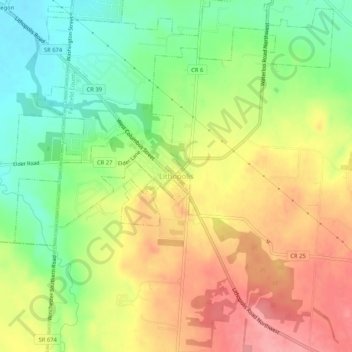
Name: Lithopolis topographic map, elevation, terrain.
Location: Lithopolis, Fairfield County, Ohio, 43136, United States (39.78284 -82.82628 39.82284 -82.78628)
Average elevation: 909 ft
Minimum elevation: 748 ft
Maximum elevation: 1,073 ft
Ohio trails, hiking, mountain biking, running and outdoor activities