
Denton topographic map
Interactive map
Click on the map to display elevation.
About this map
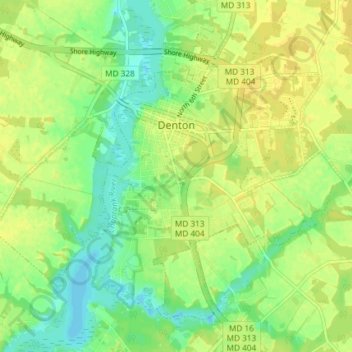
Name: Denton topographic map, elevation, terrain.
Location: Denton, Caroline County, Maryland, 21629, United States (38.85326 -75.86550 38.89940 -75.79196)
Average elevation: 39 ft
Minimum elevation: -3 ft
Maximum elevation: 66 ft
Maryland trails, hiking, mountain biking, running and outdoor activities