
Mount Hope topographic map
Interactive map
Click on the map to display elevation.
About this map
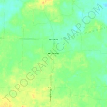
Name: Mount Hope topographic map, elevation, terrain.
Location: Mount Hope, Lawrence County, Alabama, 35651, United States (34.43843 -87.50169 34.47843 -87.46169)
Average elevation: 636 ft
Minimum elevation: 591 ft
Maximum elevation: 689 ft
Lawrence County trails, hiking, mountain biking, running and outdoor activities
Other topographic maps
Click on a map to view its topography, its elevation and its terrain.