
Kleefeld topographic map
Interactive map
Click on the map to display elevation.
About this map
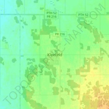
Name: Kleefeld topographic map, elevation, terrain.
Location: Kleefeld, Hanover, Manitoba, R0A 0V0, Canada (49.46270 -96.91802 49.54270 -96.83802)
Average elevation: 820 ft
Minimum elevation: 787 ft
Maximum elevation: 873 ft