
Walthal topographic map
Interactive map
Click on the map to display elevation.
About this map
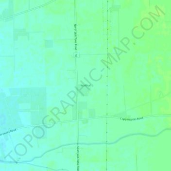
Name: Walthal topographic map, elevation, terrain.
Location: Walthal, San Joaquin County, California, United States (37.95853 -121.16633 37.99853 -121.12633)
Average elevation: 66 ft
Minimum elevation: 49 ft
Maximum elevation: 85 ft
California trails, hiking, mountain biking, running and outdoor activities