
Derby topographic map
Interactive map
Click on the map to display elevation.
About this map
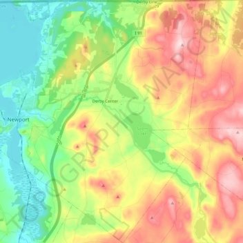
Name: Derby topographic map, elevation, terrain.
Location: Derby, Orleans County, Vermont, United States (44.86441 -72.24273 45.00628 -72.05124)
Average elevation: 1,093 ft
Minimum elevation: 653 ft
Maximum elevation: 1,709 ft
Orleans County trails, hiking, mountain biking, running and outdoor activities
Other topographic maps
Click on a map to view its topography, its elevation and its terrain.
Newport Center
United States > Vermont > Orleans County > Newport Town > Newport Center
Average elevation: 863 ft