
Bolivar topographic map
Interactive map
Click on the map to display elevation.
About this map
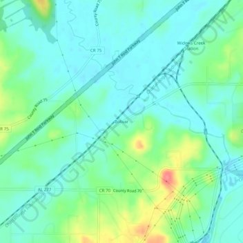
Name: Bolivar topographic map, elevation, terrain.
Location: Bolivar, Jackson County, Alabama, United States of America (34.89341 -85.79497 34.93341 -85.75497)
Average elevation: 650 ft
Minimum elevation: 587 ft
Maximum elevation: 823 ft