
Villard topographic map
Interactive map
Click on the map to display elevation.
About this map
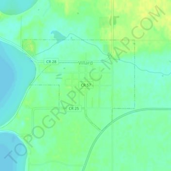
Name: Villard topographic map, elevation, terrain.
Location: Villard, Pope County, Minnesota, United States of America (45.70468 -95.28344 45.71916 -95.25808)
Average elevation: 1,365 ft
Minimum elevation: 1,339 ft
Maximum elevation: 1,404 ft