
Coeur d'Alene River topographic map
Interactive map
Click on the map to display elevation.
About this map
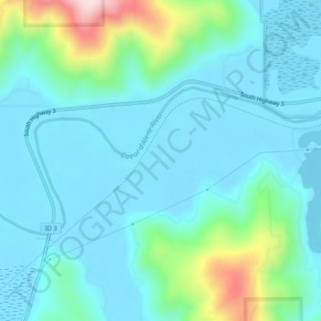
Name: Coeur d'Alene River topographic map, elevation, terrain.
Average elevation: 2,320 ft
Minimum elevation: 2,110 ft
Maximum elevation: 3,278 ft
Other topographic maps
Click on a map to view its topography, its elevation and its terrain.