
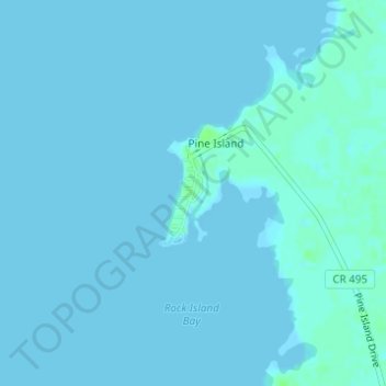
Pine Island topographic map
Interactive map
Click on the map to display elevation.
About this map
Name: Pine Island topographic map, elevation, terrain.
Location: Pine Island, Hernando County, Florida, United States (28.56788 -82.65729 28.57565 -82.65327)
Average elevation: 3 ft
Minimum elevation: 0 ft
Maximum elevation: 26 ft
Hernando County trails, hiking, mountain biking, running and outdoor activities