
Hengdu topographic map
Interactive map
Click on the map to display elevation.
About this map
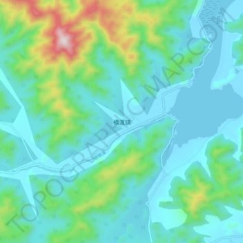
Name: Hengdu topographic map, elevation, terrain.
Location: Hengdu, Taizhou, Zhejiang, China (28.96921 121.47054 29.04921 121.55054)
Average elevation: 456 ft
Minimum elevation: 0 ft
Maximum elevation: 2,369 ft