
Burrton topographic map
Interactive map
Click on the map to display elevation.
About this map
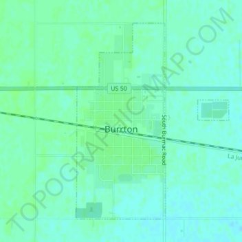
Name: Burrton topographic map, elevation, terrain.
Location: Burrton, Harvey County, Kansas, United States (38.01408 -97.67812 38.03598 -97.65651)
Average elevation: 1,453 ft
Minimum elevation: 1,440 ft
Maximum elevation: 1,463 ft
Harvey County trails, hiking, mountain biking, running and outdoor activities