
North Branch topographic map
Interactive map
Click on the map to display elevation.
About this map
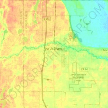
Name: North Branch topographic map, elevation, terrain.
Average elevation: 896 ft
Minimum elevation: 823 ft
Maximum elevation: 955 ft
Chisago County trails, hiking, mountain biking, running and outdoor activities
Other topographic maps
Click on a map to view its topography, its elevation and its terrain.
Chain Lake
United States > Minnesota > Chisago County > North Branch > Harris
Average elevation: 922 ft