
Ohio topographic map
Interactive map
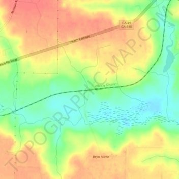
Click on the map to display elevation.
About this map
Name: Ohio topographic map, elevation, terrain.
Location: Ohio, Peach County, Georgia, United States (32.56292 -83.83574 32.60292 -83.79574)
Average elevation: 433 ft
Minimum elevation: 328 ft
Maximum elevation: 518 ft
Georgia trails, hiking, mountain biking, running and outdoor activities