
Skútustaðahreppur topographic map
Interactive map
Click on the map to display elevation.
About this map
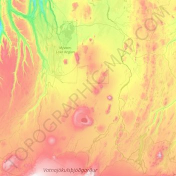
Name: Skútustaðahreppur topographic map, elevation, terrain.
Location: Skútustaðahreppur, Northeastern Region, 660, Iceland (64.66128 -17.33507 65.80888 -16.00546)
Average elevation: 2,169 ft
Minimum elevation: -3 ft
Maximum elevation: 6,243 ft
Other topographic maps
Click on a map to view its topography, its elevation and its terrain.