
Parque Nacional Coiba topographic map
Interactive map
Click on the map to display elevation.
About this map
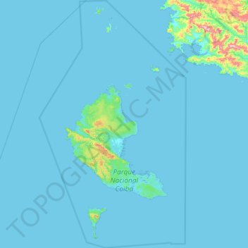
Name: Parque Nacional Coiba topographic map, elevation, terrain.
Location: Parque Nacional Coiba, Veraguas, Panama (7.17580 -81.96518 7.89278 -81.53587)
Average elevation: 79 ft
Minimum elevation: -7 ft
Maximum elevation: 2,064 ft
Other topographic maps
Click on a map to view its topography, its elevation and its terrain.