
WHEI-FM (Tiffin) topographic map
Interactive map
Click on the map to display elevation.
About this map
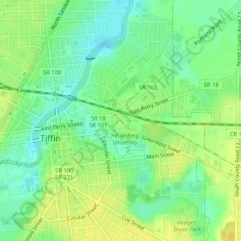
Name: WHEI-FM (Tiffin) topographic map, elevation, terrain.
Average elevation: 764 ft
Minimum elevation: 725 ft
Maximum elevation: 804 ft
Ohio trails, hiking, mountain biking, running and outdoor activities
Other topographic maps
Click on a map to view its topography, its elevation and its terrain.