
Moro topographic map
Interactive map
Click on the map to display elevation.
About this map
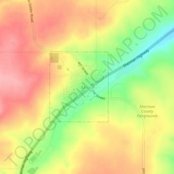
Name: Moro topographic map, elevation, terrain.
Location: Moro, Sherman County, Oregon, United States (45.47870 -120.73948 45.48957 -120.72650)
Average elevation: 1,926 ft
Minimum elevation: 1,709 ft
Maximum elevation: 2,080 ft
Sherman County trails, hiking, mountain biking, running and outdoor activities
Other topographic maps
Click on a map to view its topography, its elevation and its terrain.