
Saint Jo topographic map
Interactive map
Click on the map to display elevation.
About this map
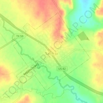
Name: Saint Jo topographic map, elevation, terrain.
Location: Saint Jo, Montague County, Texas, 76265, United States (33.68506 -97.53458 33.70543 -97.51035)
Average elevation: 1,132 ft
Minimum elevation: 1,037 ft
Maximum elevation: 1,207 ft
Montague County trails, hiking, mountain biking, running and outdoor activities
Other topographic maps
Click on a map to view its topography, its elevation and its terrain.