
Lynd topographic map
Interactive map
Click on the map to display elevation.
About this map
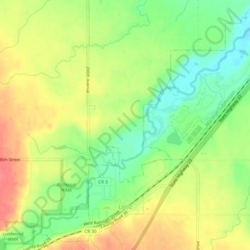
Name: Lynd topographic map, elevation, terrain.
Location: Lynd, Lyon County, Minnesota, United States (44.38073 -95.90593 44.41306 -95.85952)
Average elevation: 1,332 ft
Minimum elevation: 1,230 ft
Maximum elevation: 1,430 ft
Minnesota trails, hiking, mountain biking, running and outdoor activities