Geolocate

Roggen topographic map

Click on the map to display elevation.

About this map

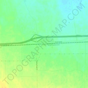
Name: Roggen topographic map, elevation, terrain.

Location: Roggen, Weld County, Colorado, 80652, United States (40.14748 -104.39218 40.18748 -104.35218)

Average elevation: 4,715 ft

Minimum elevation: 4,678 ft

Maximum elevation: 4,751 ft

Colorado trails, hiking, mountain biking, running and outdoor activities

Gear up for your next adventure:

🎒Waterproof Dry Bags - Keep your electronics and maps dry inside your pack
📚Navigation Handbooks - Master the art of reading topographic maps and using a compass
🧭Hiking Compass - Precision compass for reliable navigation in the wilderness
🥩Freeze-Dried Meals - Nutritious and lightweight food for remote expeditions
📱Heavy-Duty Phone Cases - Drop-proof and waterproof protection for outdoor navigation

As an Amazon Associate, this site earns from qualifying purchases at no extra cost to you.