
Estherville topographic map
Interactive map
Click on the map to display elevation.
About this map
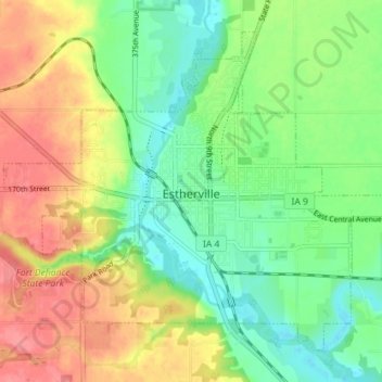
Name: Estherville topographic map, elevation, terrain.
Location: Estherville, Emmet County, Iowa, 51334, United States (43.38141 -94.87141 43.42466 -94.80003)
Average elevation: 1,342 ft
Minimum elevation: 1,247 ft
Maximum elevation: 1,480 ft
Emmet County trails, hiking, mountain biking, running and outdoor activities