
Meadville topographic map
Interactive map
Click on the map to display elevation.
About this map
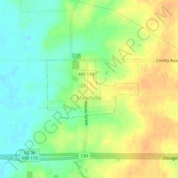
Name: Meadville topographic map, elevation, terrain.
Location: Meadville, Linn County, Missouri, 64659, United States (39.78362 -93.30989 39.79250 -93.29170)
Average elevation: 738 ft
Minimum elevation: 682 ft
Maximum elevation: 791 ft
Missouri trails, hiking, mountain biking, running and outdoor activities