
Holston topographic map
Interactive map
Click on the map to display elevation.
About this map
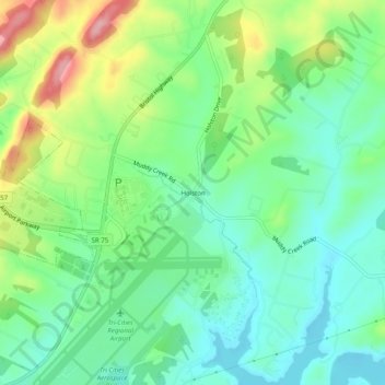
Name: Holston topographic map, elevation, terrain.
Location: Holston, Sullivan County, Tennessee, 38137, United States (36.46594 -82.41903 36.50594 -82.37903)
Average elevation: 1,529 ft
Minimum elevation: 1,365 ft
Maximum elevation: 1,870 ft
Tennessee trails, hiking, mountain biking, running and outdoor activities