
Brooten topographic map
Interactive map
Click on the map to display elevation.
About this map
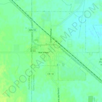
Name: Brooten topographic map, elevation, terrain.
Location: Brooten, Stearns County, Minnesota, 56316, United States (45.48885 -95.13423 45.50982 -95.09632)
Average elevation: 1,309 ft
Minimum elevation: 1,286 ft
Maximum elevation: 1,332 ft
Minnesota trails, hiking, mountain biking, running and outdoor activities