Geolocate

Hedrick topographic map

Click on the map to display elevation.

About this map

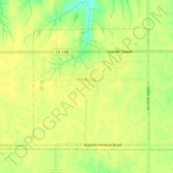
Name: Hedrick topographic map, elevation, terrain.

Location: Hedrick, Keokuk County, Iowa, United States (41.16220 -92.31987 41.18042 -92.29591)

Average elevation: 820 ft

Minimum elevation: 768 ft

Maximum elevation: 833 ft

Keokuk County trails, hiking, mountain biking, running and outdoor activities

Gear up for your next adventure:

🛠️Outdoor Gear Repair Kit - Essential tools to fix gear on the trail
🕶️Glacier Sunglasses - Side shields to protect eyes from high-altitude snow glare
🏔️Mountain Trail Maps - High‑detail maps for popular peaks
🔥Fast-Boil Camping Stoves - Efficient cooking systems for quick trail meals
📡GPS Antenna Upgrade - Enhance GPS reception in remote terrain

As an Amazon Associate, this site earns from qualifying purchases at no extra cost to you.