
Stornoway topographic map
Interactive map
Click on the map to display elevation.
About this map
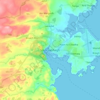
Name: Stornoway topographic map, elevation, terrain.
Location: Stornoway, Western Isles, Scotland, HS1 2DB, United Kingdom (58.16842 -6.42811 58.24842 -6.34811)
Average elevation: 112 ft
Minimum elevation: -7 ft
Maximum elevation: 384 ft