
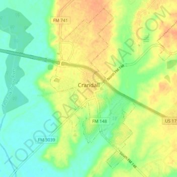
Crandall topographic map
Interactive map
Click on the map to display elevation.
About this map
Name: Crandall topographic map, elevation, terrain.
Location: Crandall, Kaufman County, Texas, United States (32.60000 -96.48331 32.65346 -96.41322)
Average elevation: 397 ft
Minimum elevation: 341 ft
Maximum elevation: 459 ft
Kaufman County trails, hiking, mountain biking, running and outdoor activities
Other topographic maps
Click on a map to view its topography, its elevation and its terrain.