
Fort Des Moines topographic map
Interactive map
Click on the map to display elevation.
About this map
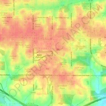
Name: Fort Des Moines topographic map, elevation, terrain.
Average elevation: 902 ft
Minimum elevation: 778 ft
Maximum elevation: 968 ft
Iowa trails, hiking, mountain biking, running and outdoor activities